
- Dr. M. Sudhakar, Senior Advisor, Ministry of Earth Sciences Dr. Sudhakar touched upon several issues in his key note address to the participants. Such as: • Environmentalism in Hindu mythology. Its significance as stated in the Vedas, the Vedanta’s, the Puranas, the Upanishads, the Dharmashastras and other scholarly works.
- He talked of the significance of Guru through all our shastras and why we should look up to our gurus.
- He spoke of the wind and solar energy sector in Rajasthan.
- Dr. Sudhakar ended his talk by saying about the data usage by teachers in classroom teaching for the welfare of mankind. Data in its various forms and usage was a gift of the 21st century.
Dr. P. Nag
- Dr. M Sudhakar, Advisor, Ministry of Earth Sciences.
- Dr. P. Nag, Director National Atlas and Thematic Mapping Organization, Chairman, Capacity Building Committee, Natural Resources Data Management System (DST).
- Shri Suresh Kumar, Deputy Director, Ministry of Statistics and Programme Implementation.
- Dr. Smita Sengupta, Professor, IIT Mumbai.
- Dr. K. B. Rath, Principal, Regional Institute of Education, Ajmer, Rajasthan.
- Dr. S. Palria, Prof. Department of Environmental Studies, Maharishi Dayanand University, Ajmer, Rajasthan.
- Dr. N. Prasad, Treasurer, LIGHTS.
- Smt. Shreya Dalwadi, Architect-Town Planner, Vadodra, Gujarat.
- Smt. Alice Garg, Founder Secretary, Bal Rashmi Society, Jaipur.
- Dr. S. Srinivasan, Medical Practitioner, Apollo, New Delhi.
- Dr. K.B. Garg, Professor (Emeritus), Department of Physics, Rajasthan University.
- Prof. (Dr.) Saraswati Raju, CSRD, JNU, New Delhi.
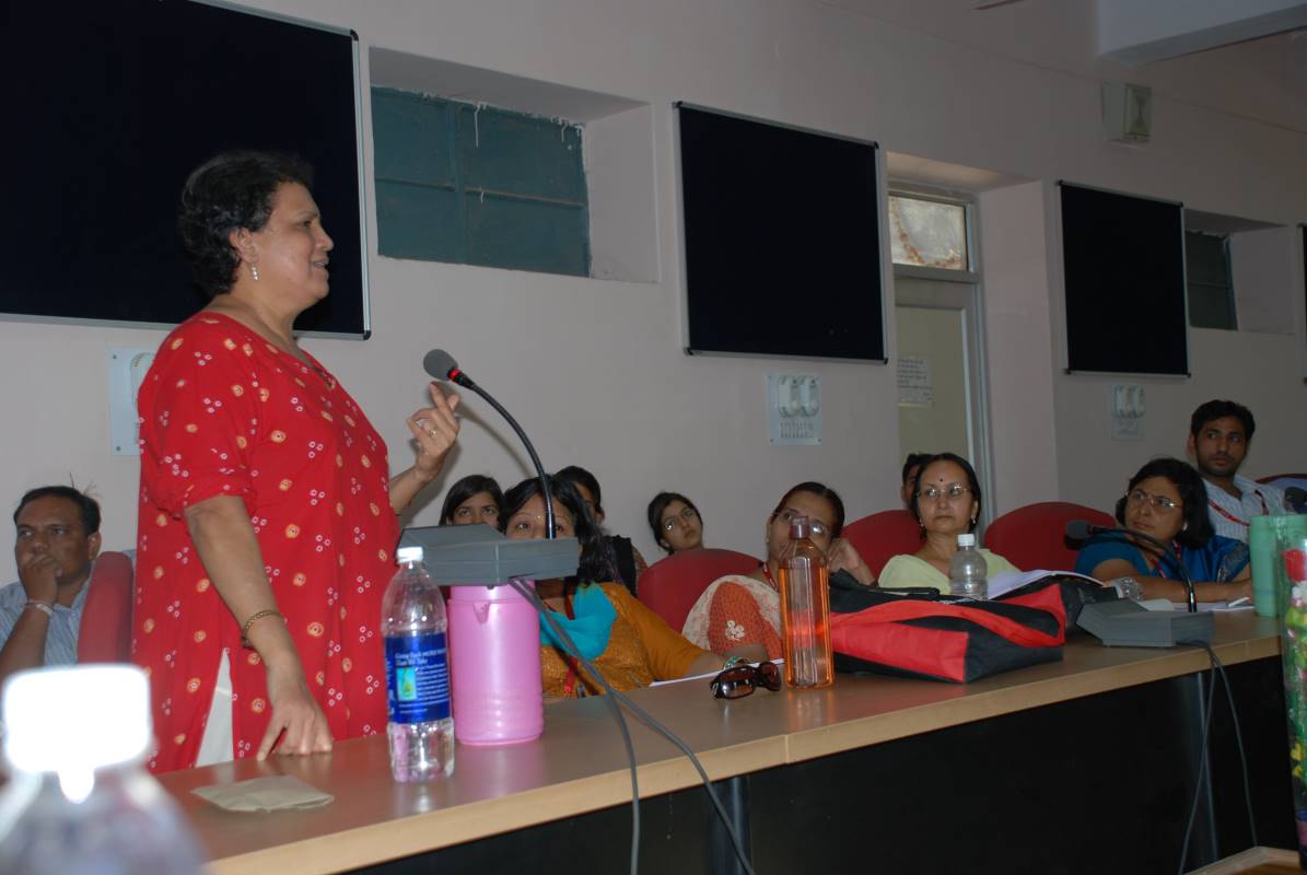
- Mrs. Sulagna Chattopadhyay, President, LIGHTS; Editor, Geography n You.
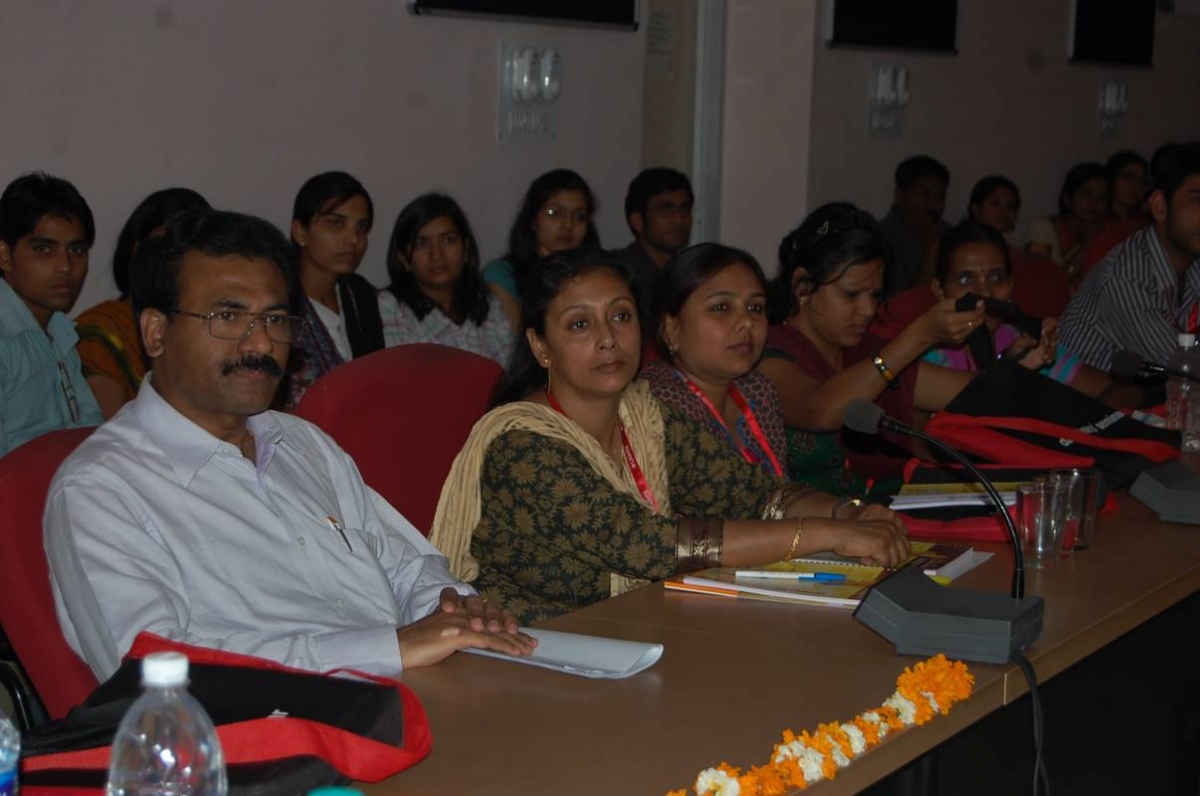
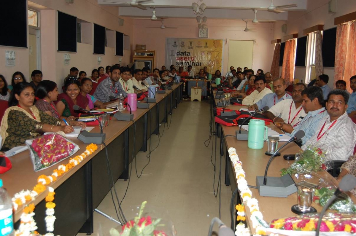
No. of teachers trained- 55
No. of students/others- 40
- 1 Bag
- 1 Folder
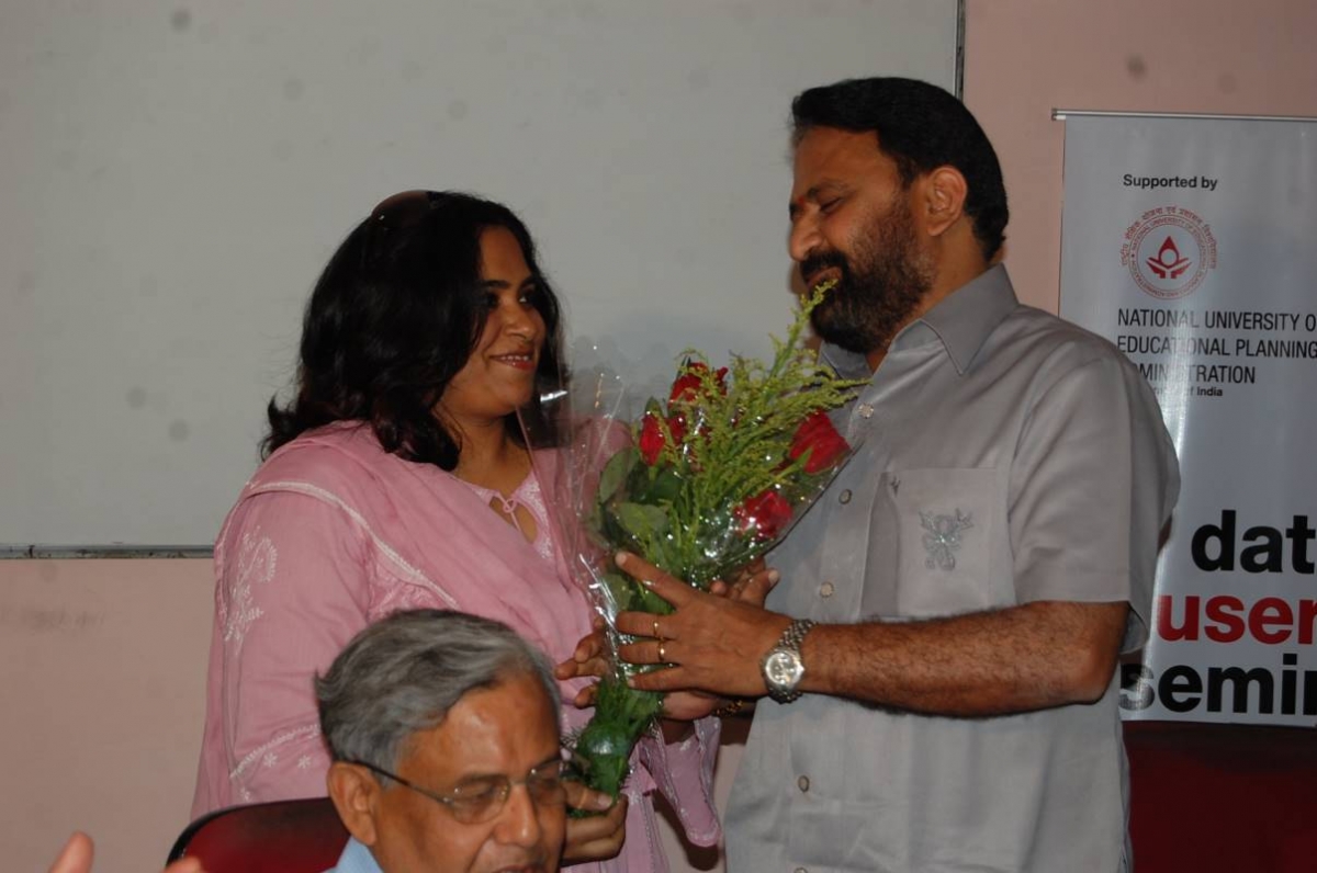
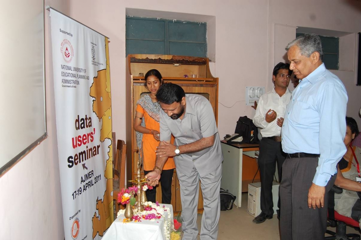
- Itinerary of “National Level Data Users’ Seminar”.
- Handbook I- GIS and GPS
- Handbook II- Disaster Management and Issues related to Women and Children.
- Handbook III- Renewable Energy
- DVD comprising- 1. GIS manual, 2. QGIS programme, 3. The 3 handbooks, 4. A mapping book published by DST.
- Akshay Urja, G n Y and Bhugol Aur Aap Magazines.
- Calendars
- Feedback Forms
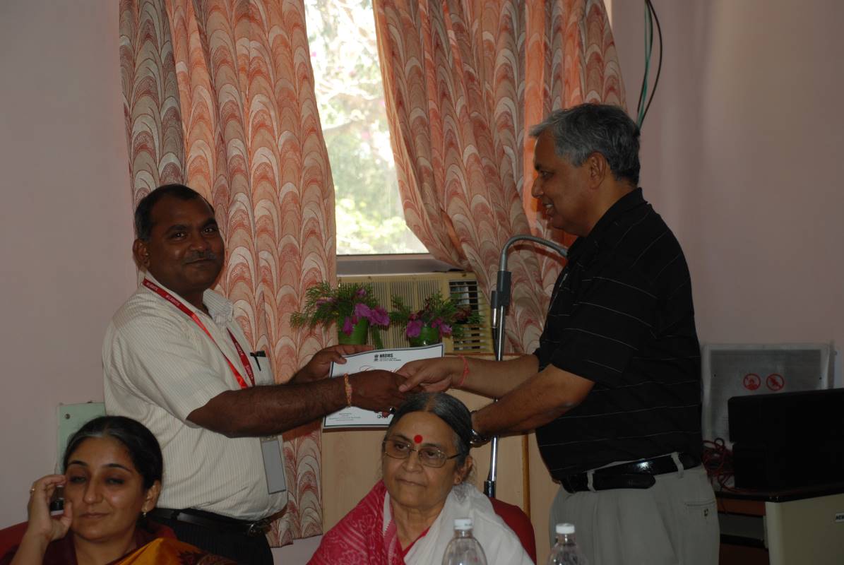
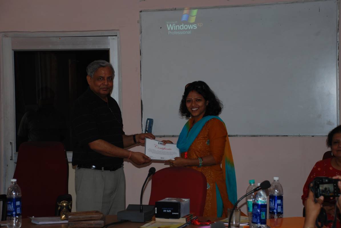
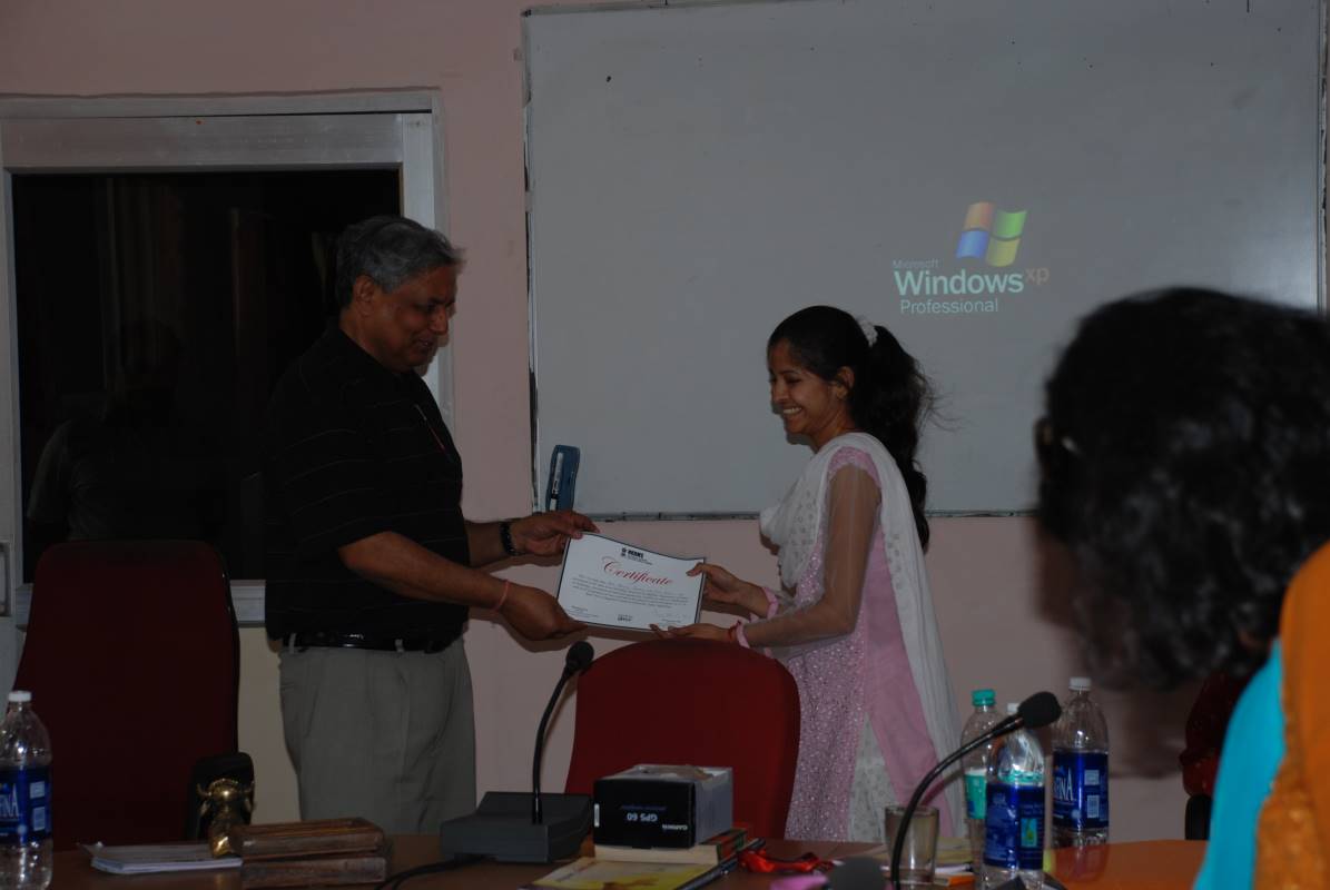
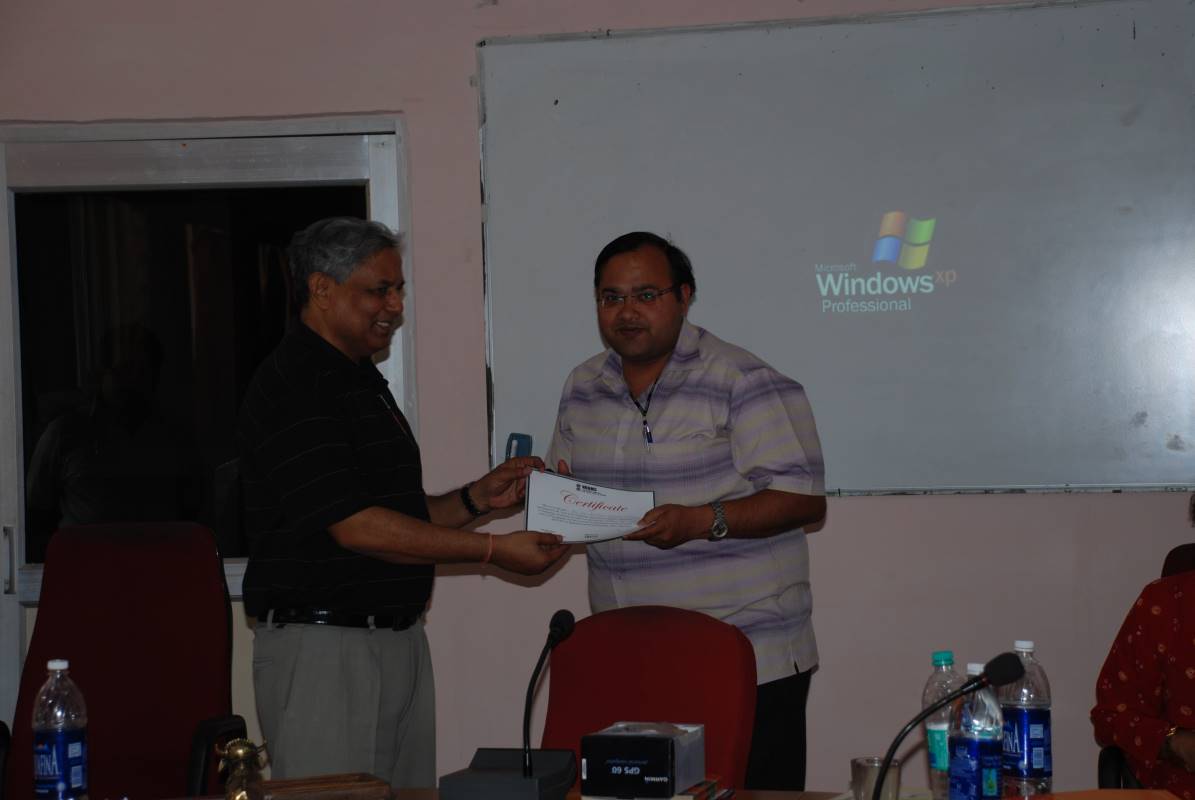
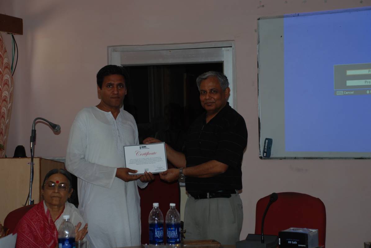
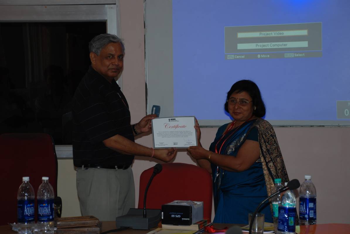
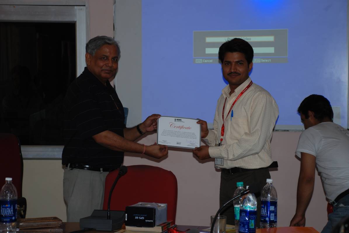
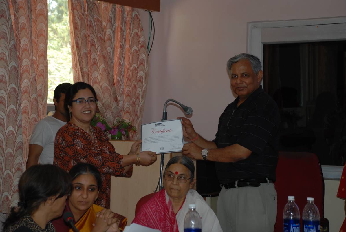
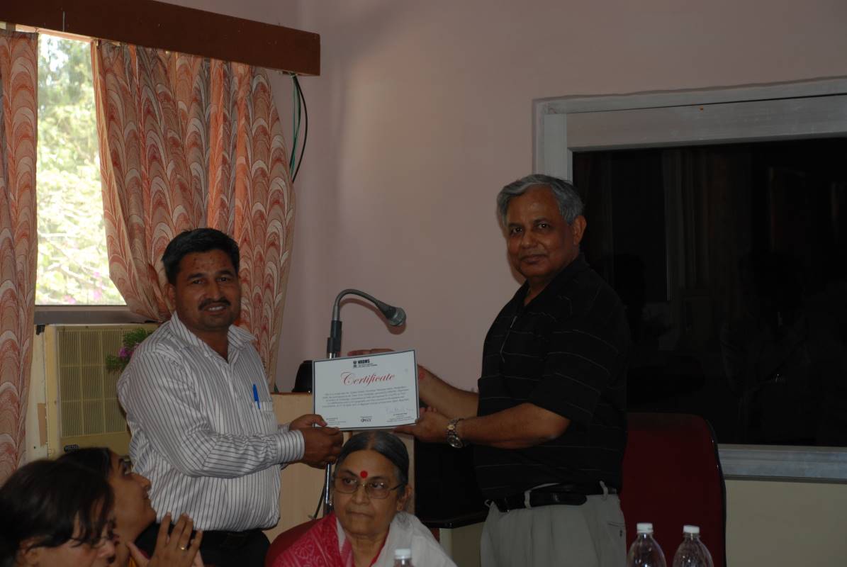
- Participation Certificates duly signed by Chairman, Capacity Building Committee, NRDMS, DST, Govt. of India
- Relieving Certificate duly signed by the Convenor.
Sh. Rajesh C Mathur, Vice-Chairman, ESRI India.
(tentative) Prof. Rajat Moona.
Dr. Prithvish Nag Vice Chancellor, MG Kashi Vidyapeeth, Varanasi; Fmr Surveyor General, Survey of India
Dr. Bhoop Singh, Head NRDMS, NSDI and NATMO, Department of Science and Technology, New Delhi
Dr. V K Dadhwal, Director, NRSA, Hyderabad
Dr. Swarna Subba Rao, Surveyor General of India
Dr. Saibal Dasgupta, Director General, Forest Survey of India
Dr. Gautam Misra, Director, SAC, Ahmedabad (tentative)
Dr. M Anji Reddy, Directorate of Research and Development, University of Petroleum and Energy Studies, JNTU, Hyderabad
Dr. P S Roy, Former Director, CSSTEAP and IIRS, Dehradun
Dr. D Sarkar, Former Director, NBSSLUP
Dr. P K Champati Ray, Group Head Geosciences & Disaster Management Studies, IIRS, Dehradun
Dr. M S Nathawat, Professor, IGNOU Dr. Subhan Khan, Fmr Chief Scientist, CSIR-NISTADS
Prof. B S Mipun, Professor, Geography Department, NEHU
Dr. J R Sharma, Brahma Prakash Professor, RRSC (W), Jodhpur
Sh. S Sridhar, President and CEO, NIIT GIS (tentative)
Dr. G P Obi Reddy, Sr Scientist & In- charge, GIS Section,NBSS&LUP, Nagpur
Day 1
Session 1: Understanding attribute and spatial information systems
- Limitation of statistics
- Working with multiple aspects
- New derivatives and knowledge creation
- Business opportunities and services
- Career opportunities and need to diversity
- Areas of new development
- GIS and grassroot outreach
- Change in special perspectives
- 3D data mapping
- Basic of GIS
- Basic of remote sensing
- Basic of GPS
- Basic of mapping
Session 2: Applications of spatial data
Day 2
Session 3: Information convergence
Session 4: New Course content
How curriculum can support